
Before a Utah Day Trip: How to Check Weather, Roads, Park Alerts and Air Quality
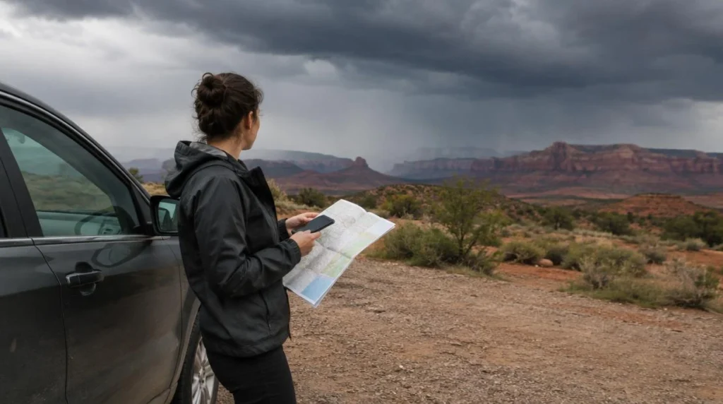
By Dima Mateiko, Founder of Matei Travel LLC
Before I commit to a Utah day trip, I check four things in order: weather, roads, park alerts and air quality. Each one answers a different question. The forecast tells you which hours suit the drive and the time outdoors. Road and park restrictions tell you whether you can reach the place you want to visit at all. Air quality tells you how much outdoor effort makes sense once you are there. A sunny forecast answers only the first of those questions.
Have the plan itself in front of you: the destination, the route with any mountain pass or canyon along the way, and the hours you expect to spend driving and outdoors. For a winter drive, know whether the vehicle is two-wheel drive, AWD or 4WD and what tires, chains or other traction devices it has, because traction rules depend on both. For an outdoor outing, note whether children, older adults or people with heart or lung disease are coming, since the air quality advice is stricter for them.
1. Check the weather at the destination and along the route
Open the NWS hourly forecast and select the spot on the map you plan to visit. The link opens on Salt Lake City, so move the location before you read it for anywhere else. Point forecasts are built on a 2.5 km grid and show hourly temperature, wind and gusts, along with the probability and type of precipitation. Read every hour of your day, covering the drive as well as the time outdoors.
Do the same for any high pass or canyon on your route, with an NWS point forecast set on the pass or canyon itself. A broad regional forecast can miss abrupt changes in elevation, so the valley forecast may not hold higher up.
Next, read the NWS hazard headlines for the route and the destination. Watches, warnings and advisories give the onset, duration and severity of an event, which shows whether it overlaps your driving or outdoor hours. If it does, shift your time window or choose another outing. For slot canyons and burn-scar areas, also read hydrologic outlooks and flash flood warnings. When a flash flood warning covers the canyon or burn-scar area I planned to visit, I take it off the plan, even if the road there is still open. None of this weather information tells you whether a road or park area is closed, which is why roads and park alerts come next.
2. Separate a road closure from a traction requirement
A closure means the route is unavailable. UDOT’s Cottonwood Canyons closure guidance describes closures for avalanche mitigation, rockslides and severe storms, including gate closures on SR-190 and SR-210. No tires or chains will get you past a closed gate, so your choices are another route or waiting until the road reopens.
An active traction law leaves the road open but sets an equipment requirement. Under the Cottonwood Canyons traction law, AWD and 4WD vehicles need at least M+S tires with 5/32-inch tread. Two-wheel-drive vehicles need approved 3PMSF tires on all wheels, or chains or other traction devices. Restrictions can begin up to 24 hours before a storm, so I check the evening before and again right before leaving. If your vehicle does not meet the requirement in force, delay the trip or change routes.
The UDOT Traffic app carries real-time road updates, and Cottonwood Canyons updates also appear on @UDOTCottonwoods. Peterson Auto’s traction-law guide covers both channels and explains the difference between carrying equipment in or on the vehicle and having it physically installed. When you check, read the active instruction itself, not just the general equipment rule.
These requirements apply to the Cottonwood Canyons. For a winter drive to Bryce, our Bryce winter driving checklist covers the preparation for that trip.
3. Check the specific park area you intend to use
For a national park, open NPS Active Alerts and the Alerts & Conditions banner for your destination. The linked Utah view is filtered to Closure and Information alerts, so look for Danger and Caution alerts as well. Within each alert, the location and activity it covers matter more than its category. If a closure covers the trail or area you planned to use, choose another open area or another destination. A Danger or Caution alert needs a closer read to work out how the hazard affects your route or activity.
For a state park, go through Utah State Parks to the individual park’s page, where trail, boat ramp and gate closures are posted. An open highway gets you to the park, but the trail, ramp or entrance you need may still be closed.
When a travel app and a park page disagree, go by the official park alert. Third-party feeds can lag behind emergency orders, so once the park posts a closure, I treat the place as closed even if a saved itinerary or app still shows it open.
4. Match outdoor effort to the AQI
Check the current AirNow AQI category for the area where you will be outdoors, then weigh it against how strenuous your plan is. The AirNow AQI guide gives activity advice for Moderate through Unhealthy conditions. For the two highest categories, Very Unhealthy and Hazardous, NYC Health’s activity guidance supports canceling, postponing or moving strenuous outdoor plans indoors. This is health advice and has no bearing on whether a road or park is open.
- Moderate, 51–100, Yellow: especially sensitive people should consider reducing prolonged or heavy outdoor exertion.
- Unhealthy for Sensitive Groups, 101–150, Orange: people with lung or heart disease, older adults and children should reduce prolonged or heavy exertion and take frequent breaks.
- Unhealthy, 151–200, Red: everyone should reduce prolonged or heavy outdoor exertion. Sensitive groups should avoid strenuous exertion or move activities indoors.
- Very Unhealthy to Hazardous, 201–500, Purple or Maroon: cancel, postpone or move strenuous outdoor recreation indoors for everyone.
If smoke is the main concern, our guide to changing outdoor plans during wildfire smoke covers that decision in more detail.
Putting the checks together when the signals differ
When the checks point different ways, I let access decide first. A closure or a traction requirement your car cannot meet outranks a good forecast or an acceptable AQI. Only after that do I fit the hours and the level of activity. The four hypothetical situations below show how that works. None of them describes current conditions.
- Clear forecast, active Cottonwood traction law: your 2WD car has neither approved 3PMSF tires on all wheels nor chains or other traction devices. Good weather does not lift the equipment requirement, so delay the trip or take a route without that restriction.
- Open road, afternoon flash flood warning: the warning covers the slot canyon you planned to hike. The open road says nothing about flood risk, so drop that canyon from the outing and choose a destination outside the affected area.
- Open park, Orange AQI, children coming along: access allows the visit, but the activity has to change. Replace prolonged or heavy exertion with a less demanding plan and frequent breaks.
- Travel app says open, park banner says Closure: the park notice takes precedence. If the closure covers your planned trail, choose another open trail or destination.
On departure morning, check the NWS hazard headlines, UDOT road updates and park alerts again, and look at the current AQI before settling on how much outdoor effort to plan. Go when the route and the area you plan to use are open, your vehicle meets any active requirement, the weather window fits the outing and the activity suits the AQI. If any one of those changes, rework the part of the plan it affects.
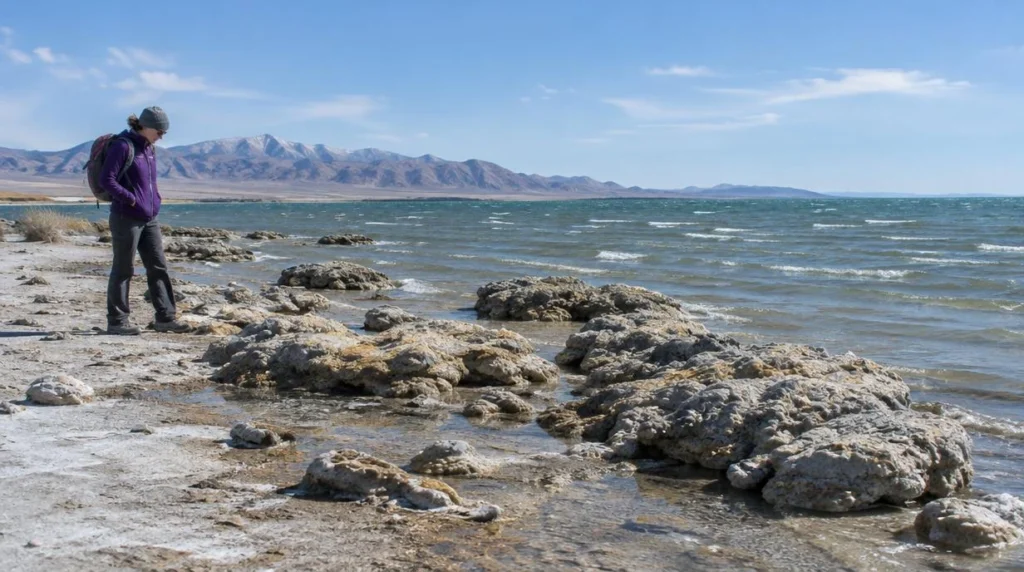 What Are the Rock-Like Microbialites on Antelope Island?
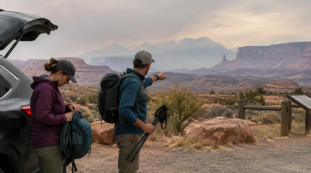 Should You Cancel a Utah Outdoor Day Because of Wildfire Smoke?
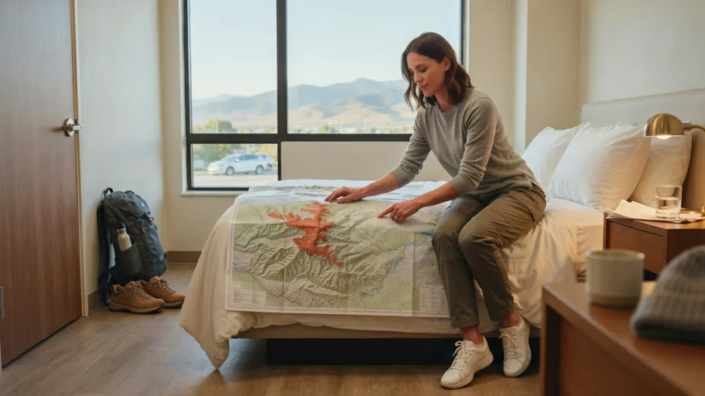 When Should a Utah Park Day Trip From Salt Lake City Become an Overnight?
 Your First Evening in Salt Lake City: A Low-Pressure Orientation Plan
 Bonneville Salt Flats Photography Etiquette: How to Protect the Surface and Share the View
 How to Plan an Antelope Island Birdwatching Visit

Did the Antelope Island tour. This is run by a Ukrainian guy, perhaps as a one-person...
Read more →Guide was Great! The salt flats had alot of water due to recent rain which limited...
Read more →I booked the Bonneville Salt Flats tour w Matei bc the owners are Ukrainian. I’m so...
Read more →This experience is a must-do! Dima explains the history of the area as well as the...
Read more → Antelope Island – Wild Heart of the Great Salt Lake Adventure
 Antelope Island Sunset Wildlife Expedition – Great Salt Lake Odyssey
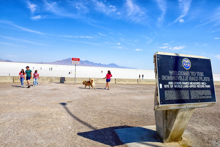 Bonneville Salt Flats – Journey to the Edge of the World
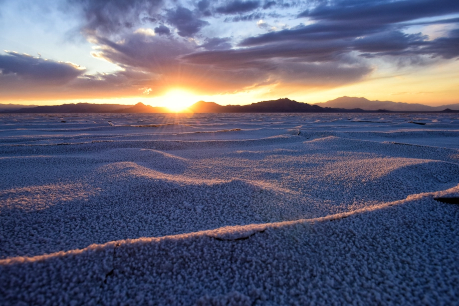 Bonneville Salt Flats – Sunset Adventure of the White Desert