
Top 11 Utah Drone Viewpoints: Best Scenic Spots for Aerial Filming
Covers eleven of the best Utah locations for drone-style viewpoints, how to reach them from Salt Lake City, where tours help most, and concrete tips for legal, safe, and creative flights.
Why Utah is such a powerful state for drone viewpoints
Utah looks unbelievable from the ground, but from the air it turns into a completely different planet. Vast salt flats, island-like mountains, snow-covered peaks, and deep canyons all sit within a day’s reach of Salt Lake City, which makes planning the top 11 Utah drone viewpoints more about smart logistics than lack of options.
This guide walks through eleven of the strongest locations for aerial filming, how to reach them from Salt Lake City, and where guided tours from MateiTravel make your life easier. You’ll see how to fold walking tours, ski day trips, and national park routes into a drone-focused itinerary, plus concrete tips, common mistakes to avoid, and sample one-day plans.
Drone rules in Utah can be strict in places, especially around national parks, so you’ll also get a realistic look at where you can fly, where you can’t, and how to still come home with dramatic footage even when your drone must stay in the bag.
How to plan your route from Salt Lake City for drone viewpoints
Understanding your main launch hub: Salt Lake City
Salt Lake City is the natural base for most aerial trips across Utah. Major highways spread out from downtown to the Bonneville Salt Flats, Antelope Island, the Wasatch ski resorts, and then farther to Arches, Canyonlands, Zion, Bryce Canyon, and Capitol Reef.
If you only have a short stay, it helps to use your first day for context. Small-group walking tours of downtown with local guides give you a feel for the city’s history and street grid. Routes take you past historic buildings and lesser-known corners, and because groups are small, you can actually ask questions that matter for your photos, like where the best skyline vantage points sit or what time the evening light hits the foothills.
Where guided tours fit into a drone-heavy trip
Even when your main goal is flying, it is smart to outsource some of the road time and logistics. From Salt Lake City you can join day tours that head to the Bonneville Salt Flats or Antelope Island, or longer trips into Utah’s national parks with transfers included.
These tours balance driving with time on location, so you are not stuck behind the wheel when you could be scouting compositions. For ski lovers, day trips to Utah’s ski resorts also work as winter drone scouting days. You get help with orientation at the resort, flexible hours on the slopes, and fast access to local knowledge that makes it easier to plan aerial shots from nearby, drone-legal areas.
Key planning factors for drone pilots
To keep it simple, plan every day around three questions: How long will I spend driving, where can I legally fly, and what kind of landscape do I want to focus on. From Salt Lake City, most “big scenery” locations fall within three to five hours one way, so one-day pushes are possible but intense.
When you look at tours that start from Salt Lake City and visit multiple parks such as Zion, Bryce Canyon, Arches, Canyonlands, and Capitol Reef, treat them as scouting trips first. You get guided stories about geology and local history, plus clear information about walking distances, elevation, and terrain. That helps you decide where to come back with your drone in nearby legal areas.
You found a hidden promo code!
Use code WOWBLOG at checkout and get 10% OFF any tour!
Limited time offer. Book now and save!
Browse ToursBest Northern Utah drone spots near Salt Lake City
1. Bonneville Salt Flats: Mirror-world textures
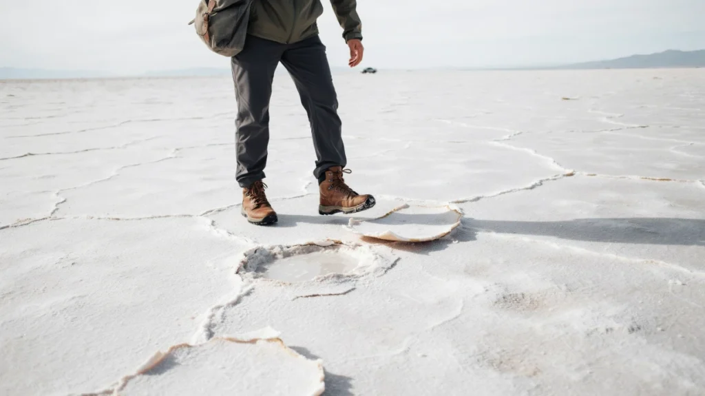
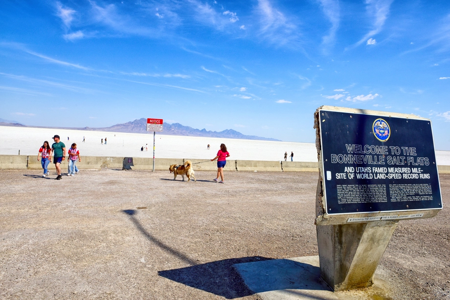
The Bonneville Salt Flats sit west of Salt Lake City and are one of the easiest “alien planet” landscapes you can film in a single day. From the air, the salt crust turns into repeating hexagon patterns and, when wet, giant mirrors that reflect clouds and mountains.
Many one-day itineraries from Salt Lake City already include the flats, with a thought-out route, transport, and time for short walks. That structure is handy if you want to focus on scouting and flying instead of figuring out access points and best pullouts along the highway.
2. Antelope Island: Wildlife and island-in-the-lake views
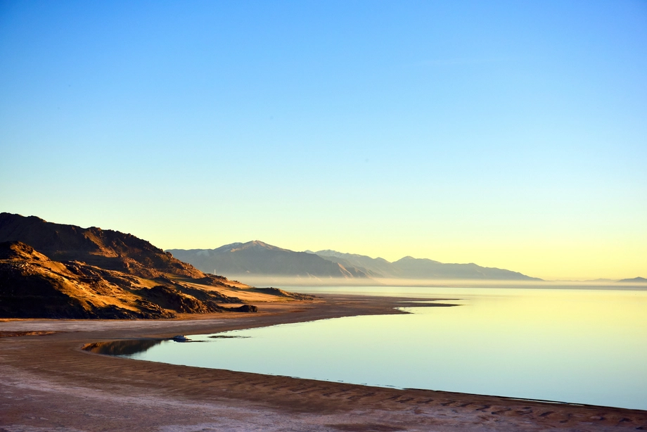
Antelope Island, rising out of the Great Salt Lake, offers strong aerial contrasts. Water, coastline curves, and distant city skyline all line up in a single sweep. From above, the causeway looks like a thin thread cutting across the water, which makes for simple but powerful compositions.
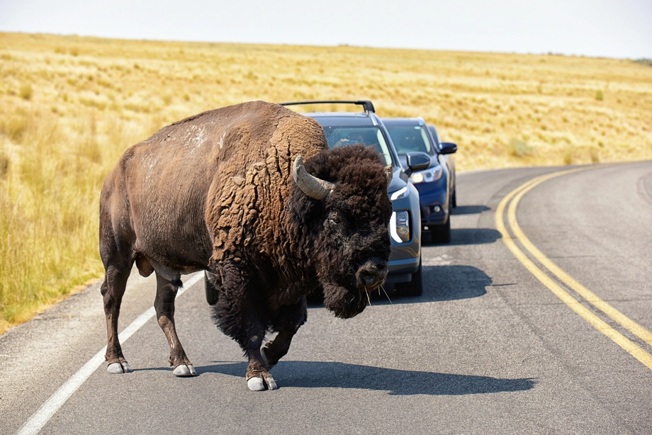
Some day tours from Salt Lake City combine Antelope Island with other open landscapes. These are good when you want to see bison and wide empty shoreline without worrying about parking or navigating the causeway. You also get a guide walking with you on short trails, which keeps you oriented to wind and light for later flights.
3. Salt Lake City skyline and foothills
For urban-style aerial shots, the foothills near downtown are hard to beat. From the right viewpoint you can capture the city grid, the state capitol, and distant mountains in one frame. The pattern of streets and blocks becomes much more obvious from above than at street level.
Small-group walking tours in the city center share the story of how the city’s plan was drawn and how it developed over time. Even without flying, hearing that background helps you understand why certain angles feel so clean and balanced, which you can translate later into stronger drone compositions from nearby high ground.
4. Winter views from the Wasatch ski resorts
In winter, day trips from Salt Lake City to Utah’s ski resorts are not just about skiing. They are a chance to see snow-covered ridges and forested slopes up close. Guided transfers remove the need to study local mountain roads or parking rules, and you get help finding your way around the resort once you arrive.
For drone users, that context matters. You can ride lifts, study the shape of the terrain, and note where valley viewpoints and pullouts are in drone-legal areas outside resort boundaries. This kind of on-the-ground scouting reduces stress, especially if you are new to winter mountains, while still giving you the freedom to add skiing to a larger Utah road trip.
Iconic red rock viewpoints around Arches and Canyonlands
5. Arches region: Natural arches and fins from above
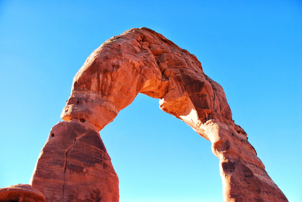
The landscape around Arches National Park is a maze of sandstone fins, canyons, and mesas. From the air, those parallel ridges and red cliffs line up like giant waves. Inside the national park itself, drones are not allowed, so you need to focus on surrounding public lands and viewpoints just outside park boundaries for actual flights.
Guided day tours from Salt Lake City to Arches National Park give you a clear introduction to the famous arches and short hikes to viewpoints. While you are on foot, you can pay attention to light directions, access roads, and ridgelines that sit outside the park. Later, you can return on your own to adjacent legal areas and apply what you learned.
6. Canyonlands, Island in the Sky: Deep canyons and river bends
The Island in the Sky district, near Moab, sits on a high mesa with sheer drops into the canyons below. Even when you cannot fly within the park boundary, scouting the overlooks shows you how the Green and Colorado Rivers cut through the rock and where the biggest bends sit.
From the air on nearby legal land, you can echo some of those views. Long shadows stretching across the canyons and the layered rock walls all show up clearly on aerial video. If your schedule allows, pair a guided day in Canyonlands with a self-driven sunrise or sunset flight the next day outside the park.
7. Dead Horse Point and surrounding mesas
The mesas near Dead Horse Point look like stacked platforms built for aerial filming. River loops, cliffs, and spurs all radiate outward. The patterns of erosion make this an ideal place to capture slow, sweeping drone moves that reveal depth over time.
In many ways, this area is a practical bridge between park and non-park terrain. You can see the grand-scale canyon shapes used in national park imagery while flying only in zones that actually allow unmanned aerial vehicles. That mix keeps you safer from fines and still gives you blockbuster frames.
8. Using data-driven observation in canyon landscapes
Using a drone to study how people move through canyon viewpoints can also make your shooting more precise. Research on unmanned aerial vehicles for pedestrian observation has shown that this kind of aerial perspective can be extremely consistent across different observers.
“UAV observations demonstrate high levels of interrater reliability (intraclass correlation coefficient = 0.99).”
The Usability of Unmanned Aerial Vehicles (UAVs) for Pedestrian Observation
In practical terms, that means you can trust aerial views when you use them to study where crowds gather, how trails curve, and which viewpoints stay quieter. That information feeds directly into your choice of flight spots and times.
Southern Utah canyon viewpoints for dramatic drone footage
9. Zion-area cliffs and valleys
Zion National Park itself is drone-free, but the broader region around it is full of towering cliffs and side canyons. When you join longer tours from Salt Lake City that include Zion, the scenic drives and short walks give you a strong overview of valley shapes and side mesas.
Later, you can focus on nearby legal areas with similar cliffs and slickrock. Filming from outside the main canyon can still give you the layered walls and deep shadows that make Zion famous, only with more freedom for aerial maneuvers and less pressure from heavy crowds.
10. Bryce Canyon-style amphitheaters and hoodoos
The hoodoo-filled amphitheaters that made Bryce Canyon famous also appear in nearby sandstone areas. From above, hoodoos look like fields of stone pins, with narrow trails winding between them in curves and switchbacks.
On guided national park routes that include Bryce Canyon, pay attention to how guides describe the erosion patterns and plateau edges. That commentary helps when you later pick safe, stable takeoff points on similar terrain in drone-legal areas, and when you plan how low or high to fly for a clear sense of depth.
11. Capitol Reef and central Utah ridges
Capitol Reef and the central Utah region combine orchards, cliffs, and long ridgelines. Tours from Salt Lake City that cover several of Utah’s “Mighty Five” often pass through or near this zone, with photo stops and short hikes.
For a drone, the long, tilted ridges make strong leading lines that guide the viewer’s eye across the frame. With the right time of day, one side of the ridge falls into shadow while the other stays bright, creating natural contrast that looks excellent in both stills and video.
How scenic day tours of Southern Utah help drone pilots
Scenic day tours of Southern Utah are useful even when you cannot fly in every stop. They deliver a curated loop of viewpoints, local stories about geology and history, and clear information about trail lengths and terrain difficulty. That mix saves you hours of online research.
Once you have that overview, you can design your own follow-up days that stick to drone-friendly areas but match the same general look: towering cliffs, narrow canyons, and high plateaus. In short, you get the creative inspiration from the national parks with less guesswork about where to go next.
Pros and cons of exploring Utah with a drone
Advantages of flying a drone in Utah
- Unique perspective: Aerial views reveal patterns in salt flats, city grids, and canyon layers that you simply cannot see from ground level.
- Efficient scouting: Short flights help you map out crowds, trail traffic, and light angles before committing to longer hikes or drives.
- Flexible framing: You can adjust altitude and angle in seconds to adapt to clouds, sun, or sudden changes in weather.
- Storytelling power: Wide establishing shots from above combine perfectly with ground-level footage from walking tours and hikes.
- Remote access: Drones let you safely film hard-to-reach cliffs, ridges, and shallow water zones without scrambling over risky terrain.
Limitations and challenges to keep in mind
- Regulation gaps: National parks and some other protected areas do not allow drones, so you must plan flights in nearby legal zones instead.
- Wind and weather: Utah’s open deserts and high plateaus can get gusty, which limits flight windows, especially near canyon edges.
- Battery management: Long drives between locations mean you need a strict plan for charging and rotating batteries throughout the day.
- Crowd safety: Popular viewpoints draw visitors, and it takes discipline to keep safe distances and avoid flying over people.
- Time pressure: When you join guided tours, you work within fixed stop times, which can feel tight if you are trying to fly and shoot ground footage.
Common drone mistakes in Utah and how to avoid them
Mistake 1: Ignoring no-fly zones around national parks
Many new visitors assume that remote landscapes mean relaxed rules. In reality, national parks across the United States restrict drones, and Utah’s famous parks are no exception. Flying without checking the rules can lead to fines and forced landings.
To avoid this, treat guided tours into parks as “visual notes” days only. Watch how guides frame the scenery, take still photos, and mark nearby external spots you can return to for legal flights rather than launching inside park boundaries.
Mistake 2: Underestimating travel time from Salt Lake City
On a map, Utah’s highlights look close. In practice, driving from Salt Lake City to places like Arches or Zion takes several hours each way. Trying to squeeze in too many locations in one day often leads to rushed flying or cancelled flights at sunset.
Instead, select one major region per day. Consider using organized day tours for the longest drives, such as combined national park routes, while saving self-drive days for closer locations like the Bonneville Salt Flats, Antelope Island, or the Salt Lake foothills.
Mistake 3: Overflying crowds at popular viewpoints
Utah’s most scenic spots are also some of its busiest. It is tempting to launch right from the main viewpoint and fly over everyone’s heads to save time. That raises real safety and privacy issues.
The fix is simple but requires discipline. Walk a little farther from the main platform, pick a quieter pullout or side hill, and only launch where you can keep generous distance from people. You will often get cleaner shots as a bonus.
Mistake 4: Poor light and shadow planning in canyons
Canyons are tricky. Sunlight hits different walls at different times, and deep shadows can make aerial footage look flat or muddy. Many pilots fly “whenever they arrive” instead of building their schedule around light.
To improve your odds, ask guides on MateiTravel tours which sides of each canyon light up at sunrise or sunset. Use that input to design your drone days around the best two-hour windows rather than trying to fly in harsh midday light.
Mistake 5: Forgetting to coordinate walking, skiing, and flying
If you love both adventure and drones, it is easy to sign up for walking tours, ski days, and national park routes, then run out of time or energy to actually fly. Your footage ends up scattered and incomplete.
Plan your week with a clear mix: some days focused on guided experiences, others reserved mainly for flying. For example, use a walking tour in downtown Salt Lake on day one to learn the city, then a dedicated aerial morning the next day in the foothills while everything is still fresh in your mind.

Practical tips, recommendations, and example itineraries
Actionable tips for drone pilots in Utah
- Use tours as scouting tools: Treat MateiTravel’s walking, ski, and national park tours as structured scouting days. Listen carefully to guides’ comments on light, access, and history.
- Pair close and far locations: Combine a short-drive drone spot like Antelope Island with a longer-drive highlight on different days, instead of chaining two long drives together.
- Check elevation and terrain: Use route descriptions that specify distance, elevation, and terrain to judge how demanding a hike will be before adding drone gear to your pack.
- Keep a simple battery routine: Number your batteries and always rotate in the same order. Start with “1” every morning, and charge in reverse order at night.
- Respect wildlife distance: In places like Antelope Island, give bison and other animals plenty of space and avoid flying directly overhead. Your footage will still look great from a safe distance.
- Build buffer time: Add at least 30 minutes of buffer to each major stop. That covers delays, extra walks, or one more quick flight if the light suddenly improves.
- Mix ground and air footage: Use clips from walking tours in downtown Salt Lake or short hikes in the parks to give context to your aerial shots when you edit later.
Example 1: Compact two-day plan from Salt Lake City
Day one, start with a downtown walking tour. You learn how the city was designed, see historic buildings, and get suggestions for skyline overlooks and hidden corners worth filming. In the late afternoon, head to the nearby foothills for your first short flight, capturing the city grid and evening light on the mountains.
Day two, join a one-day tour from Salt Lake City to the Bonneville Salt Flats and, if available, pair it with another open landscape stop. Use the drive to rest and review your shot list. On-site, fly simple patterns over the salt textures and, if conditions are right, capture mirrored reflections in shallow water.
Example 2: Arches-focused aerial and scouting combo
On the first day, book one of the day tours from Salt Lake City to Arches National Park. You get transfers, guided commentary on geology and local stories, plus time for short hikes to key arches and viewpoints. No flying in the park, but you can shoot plenty of ground photos and log where the best surrounding ridges and canyons sit.
The next day, self-drive to nearby public lands with similar rock formations and legal flight options. Use your notes from the tour to pick ridges and fins that mirror what you saw in Arches, then fly at sunrise or sunset for the best contrast between glowing sandstone and dark shadows.
Example 3: Southern Utah sampler with guided context
For a fuller taste of red rock country, join a multi-park tour from Salt Lake City that covers several of Utah’s national parks, such as Zion, Bryce Canyon, Arches, Canyonlands, and Capitol Reef. The schedule clearly lists how long each stop lasts, walking distances, and the general difficulty of the terrain.
Think of this as a moving classroom. You learn the region’s geology, hear local stories, and see the key viewpoints, all while someone else manages the long drives. In a later trip, you can design your own scenic day tours of Southern Utah centered on drone-legal lands that capture the same cliffs, arches, and canyons you scouted with the guide.
How MateiTravel can streamline your Utah drone journey
MateiTravel specializes in tours and excursions across Utah, with a focus on history, tips, and adventure. That combination lines up well with what drone pilots need most: context, access, and realistic time frames.
If you want a low-stress starting point, begin with a guided walking tour in Salt Lake City, then layer in ski day trips, one-day nature tours to Antelope Island or the Bonneville Salt Flats, and longer national park routes. You handle the creative side, while MateiTravel takes care of logistics and local knowledge.
Comparison tables for planning
Key drone-friendly regions near Salt Lake City
| Location / Region | Approx. drive from Salt Lake City | Main landscape type | Drone considerations |
|---|---|---|---|
| Bonneville Salt Flats | About 1.5–2 hours | Flat salt crust, reflective water pools | Open horizons, check wind; popular with day tours |
| Antelope Island area | About 1–1.5 hours | Island in lake, wildlife, shoreline | Mind wildlife distance and lake winds |
| Salt Lake foothills | 20–40 minutes | City skyline, mountain backdrop | Great for sunrise/sunset, watch for local crowds |
| Moab / Arches region (outside park) | About 3.5–4.5 hours | Red rock fins, mesas, canyons | No drones in the park, fly only in legal nearby zones |
| Central / Southern Utah mesas | 4–5+ hours | Cliffs, hoodoos, plateaus | Plan multi-day trips or structured tours |
How different MateiTravel-style tours support drone plans
| Tour type | Starting point | Main focus | Drone benefit |
|---|---|---|---|
| Downtown walking tour | Salt Lake City center | History, planning, hidden spots | Helps you find skyline viewpoints and understand city layout |
| Day trip to ski resorts | From Salt Lake City | Skiing, mountain orientation | Scouts winter ridges and valleys with help navigating the resort |
| Day tours to Bonneville / Antelope Island | From Salt Lake City | Open landscapes, wildlife, lakes | Stress-free access to two of the best nearby drone landscapes |
| National park tours (Mighty Five) | From Salt Lake City | Zion, Bryce Canyon, Arches, Canyonlands, Capitol Reef | Guided overview and scouting for later flights in adjacent legal areas |
Conclusion
Utah rewards drone pilots who plan carefully around distance, rules, and light. From Salt Lake City you can reach salt flats, islands, canyons, and snow-covered peaks, all within realistic day-trip windows. Guided walking tours, ski days, and national park routes give you crucial context and logistics support, while your drone unlocks the wider patterns hidden in those same landscapes.
When you combine structured tours from MateiTravel with dedicated flying days, you get both deep local knowledge and the creative freedom of aerial shooting. Start with one or two of the eleven viewpoints in this guide, then expand your map as your time and experience grow.
If you are ready to turn Utah’s landscapes into a cohesive aerial story, use MateiTravel’s tours as the backbone of your trip and let your drone handle the rest.
FAQ
How many drone-friendly regions near Salt Lake City does this guide cover?
The article highlights eleven key regions and viewpoints, grouped into northern Utah spots, Arches and Canyonlands areas, and Southern Utah canyon landscapes. Each one is chosen for strong visuals and realistic access from Salt Lake City.
Can I fly a drone inside Utah’s national parks like Arches or Zion?
No, drones are not allowed inside national parks such as Arches, Canyonlands, Zion, Bryce Canyon, and Capitol Reef. The guide explains how to use guided park tours for scouting and then return to nearby legal areas for actual flights.
What is a good two-day itinerary from Salt Lake City that includes drone flying?
One example in the article suggests a downtown walking tour and foothill flight on day one, followed by a guided day tour to the Bonneville Salt Flats on day two. That combination gives you both urban skyline footage and wide-open salt flat aerials.
How do day tours from Salt Lake City to Arches National Park help drone users if drones are banned there?
Those tours provide transfers, guided commentary, and short hikes to iconic arches, which you can use as a visual reference. The next day you can visit nearby legal public lands with similar rock formations and apply what you learned about light, terrain, and access.
What are the main pros and cons of flying a drone in Utah?
Key advantages include unique aerial perspectives, efficient scouting, flexible framing, and access to remote terrain. Main drawbacks are strict rules in protected areas, wind and weather issues, battery limits on long days, and the need to avoid flying over crowds.
How can MateiTravel tours improve my drone footage planning?
MateiTravel offers small-group walking tours, ski day trips, and national park routes starting in Salt Lake City. These tours handle logistics, share local history and geology, and clearly outline route length and terrain, so you can focus on creative planning for your drone days.
What common mistakes do drone pilots make in Utah’s canyons?
Pilots often ignore how light and shadow shift across canyon walls and fly whenever they arrive instead of timing flights. The article suggests asking guides which sides of each canyon get sunrise or sunset light and planning flights specifically for those windows.
Why does the article mention research on UAV observation reliability?
It cites a study showing that unmanned aerial vehicle observations can reach very high interrater reliability, with an intraclass correlation coefficient of 0.99. That supports using aerial views to analyze crowd patterns and trail use when planning safer and more efficient flight paths.
Which locations near Salt Lake City offer the fastest access to strong aerial views?
The closest highlighted spots are the Salt Lake foothills, Antelope Island, and the Bonneville Salt Flats. They range from roughly 20 minutes to about two hours’ drive and offer city skylines, island-in-the-lake views, and surreal salt textures.
How should I balance guided tours and self-drive days for drone work?
The guide recommends mixing structured days and dedicated flying days. Use guided tours for context and long transfers, such as multi-park routes and ski trips, then reserve separate days closer to the city or in legal public lands purely for aerial shooting.
 Your First Evening in Salt Lake City: A Low-Pressure Orientation Plan
 Bonneville Salt Flats Photography Etiquette: How to Protect the Surface and Share the View
 How to Plan an Antelope Island Birdwatching Visit
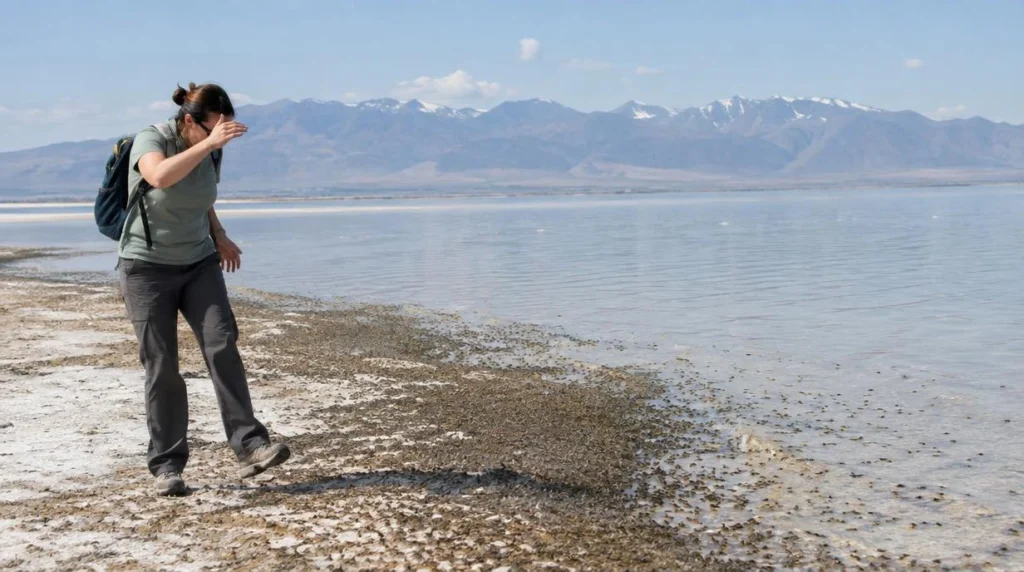 Why Are There So Many Brine Flies on Antelope Island?
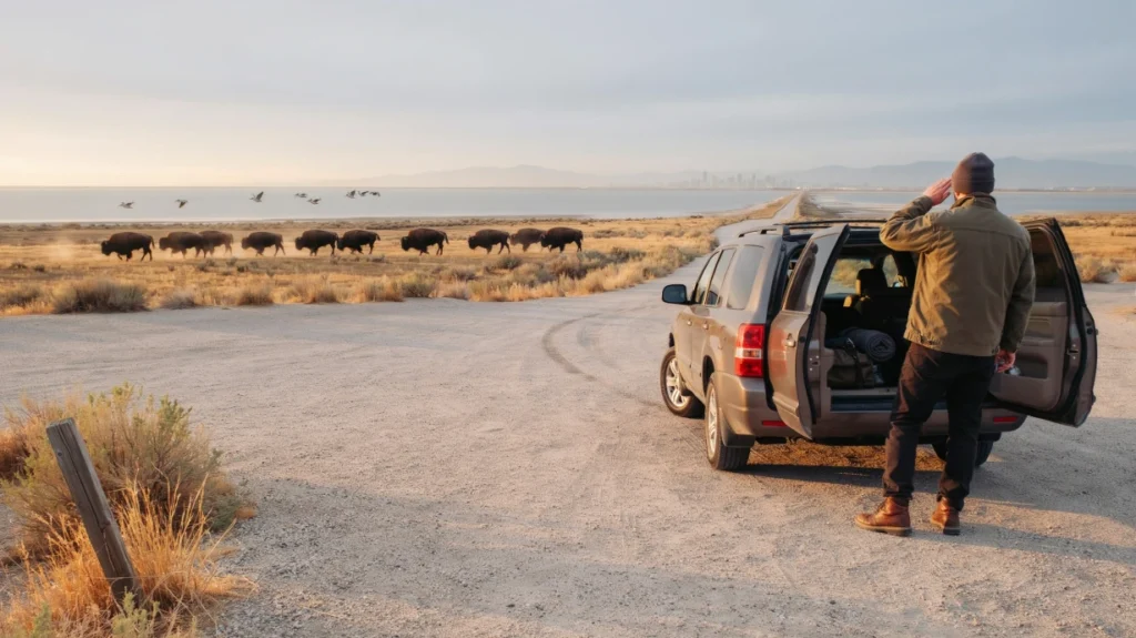 Antelope Island Day Tour or Sunset Wildlife Tour: Which Fits Your Salt Lake City Schedule?
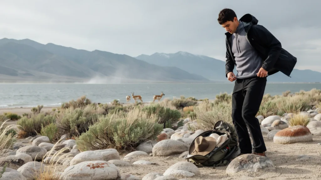 How to Dress for Changing Weather on Antelope Island

This experience is a must-do! Dima explains the history of the area as well as the...
Read more →I had never been on a guided tour before, but Dima made it the best experience...
Read more →This was a great tour, it was nice to get picked up from our hotel. It...
Read more →Great guide great information and great deal for the money.
Read more →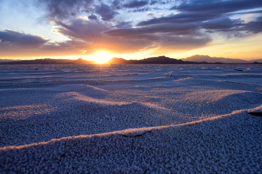 Bonneville Salt Flats – Sunset Adventure of the White Desert
 Antelope Island – Wild Heart of the Great Salt Lake Adventure
 Antelope Island Sunset Wildlife Expedition – Great Salt Lake Odyssey
 Bonneville Salt Flats – Journey to the Edge of the World