
Scenic Winter Drives From Salt Lake City Ideal for Landscape…
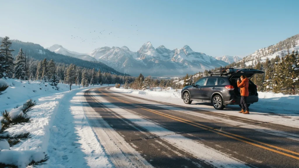
For reliable winter photography drives, prioritize Big Cottonwood Canyon, Little Cottonwood Canyon, and lower-elevation city or valley views. Remove Alpine Loop and Mirror Lake from a winter self-drive plan because seasonal snow closes them.
Many summer Utah drive lists send photographers toward roads that are not usable once snow settles into the Wasatch. Winter landscape photography from Salt Lake City works best when the route is chosen for maintained access first, then for canyon light, roadside stopping space, and a realistic fallback if mountain conditions change.
The strongest local options are not always the famous byways. Big and Little Cottonwood Canyons provide the snow-loaded walls, creek corridors, and resort-scale mountain scenes that photographers expect, while the city and lower foothills offer useful alternatives when a canyon day is not the right call.
What counts as a practical scenic winter drive from Salt Lake City?
A practical winter photo drive uses roads that remain legally accessible and maintained for regular traffic, fits within a day from Salt Lake City, and has safe places to stop without blocking traffic. It is not an unplowed forest-road adventure or a summer byway that happens to look attractive on a map.
For visiting photographers, we divide the choice into three route plans based on driving confidence and the kind of images you want to make.
| Plan | Best for | Primary visual subjects | Driving demand |
|---|---|---|---|
| Plan A: Big Cottonwood Canyon | Photographers comfortable with maintained mountain roads | Canyon walls, snow-covered trees, creek details, ski-area scenes | Mountain driving with changing snow conditions |
| Plan B: Little Cottonwood Canyon | Visitors seeking larger alpine and resort compositions | Steep snow-laden slopes, road vistas, Alta and Snowbird base areas | Mountain driving with possible operational delays |
| Plan C: City, foothill, and valley fallback | Anyone avoiding canyon driving or working around poor conditions | Salt Lake City geometry, historic buildings, distant Wasatch views, open winter sky | Lower-elevation urban and valley roads |
Choose Plan A when texture matters most: close canyon walls, dark evergreens, snowbanks, and intimate winter layers. Choose Plan B for a bigger alpine feel. Choose Plan C when roads, weather, or your own comfort level make a mountain ascent a poor tradeoff.
Which famous Wasatch scenic drives should photographers remove from a winter plan?
Remove Alpine Loop Scenic Byway and Mirror Lake Scenic Byway from a winter self-drive itinerary because heavy snow closes them seasonally. Their summer reputation does not make them dependable winter routes.
Alpine Loop is a classic 20-mile Wasatch route, but winter snowfall makes it inaccessible for ordinary landscape-driving plans. Mirror Lake Scenic Byway is similarly known for high-elevation lakes and mountain views, yet snow accumulation typically closes the road in winter.
- Do not build a schedule around a reopening: Treat both roads as unavailable unless official transportation updates state otherwise.
- Do not substitute side roads blindly: Nearby high-elevation roads may also be unplowed, closed, or unsuitable for casual visitors.
- Use the closure as a planning advantage: Put the time into a maintained canyon corridor, where winter itself becomes the subject rather than an obstacle to a summer composition.
You found a hidden promo code!
Use code WOWBLOG at checkout and get 10% OFF any tour!
Limited time offer. Book now and save!
Browse ToursHow should you use arrival day before committing to a canyon route?
Use arrival day to photograph downtown Salt Lake City and assess the mountain weather from lower elevation. This creates a productive first phase without making an immediate decision about snowy canyon roads.
Our small-group downtown walking tours are led by local guides and move through historic buildings, city structure, and lesser-known corners that work well in low winter light. A Utah Day Tour from Salt Lake City is the better next step when your available day is short and you want transport, route planning, and natural-landscape time handled together.
For photography, look for the relationship between the city grid and the Wasatch rather than trying to force a grand mountain panorama from every block. Fresh snow can simplify roofs, plazas, and building edges, while late-day light often gives the mountain backdrop more definition than midday.
Is Big Cottonwood Canyon a good winter photography drive?
Yes. Big Cottonwood Canyon remains accessible in winter and is one of the most rewarding nearby routes for snowy canyon landscapes, creek scenes, and ski-area atmosphere.
From downtown, consider it an easy-reach mountain outing rather than a drive to rush through. The exact distance depends on which canyon location, trailhead area, or resort approach you choose, so map the specific turnaround point before leaving and allow time for slow conditions and short photo stops.
What to photograph along Big Cottonwood Canyon
The road’s strength is visual compression. Steep canyon walls, conifers, snow-covered slopes, and the creek give you layered compositions without needing to leave the maintained corridor.
- Designated pullouts: Use legal roadside stopping areas for wide canyon views and avoid stopping where shoulders are narrow or traffic must pass close by.
- Trailhead parking areas: These can provide safer places to pause, assess light, and make a few compositions from the edge of established access areas.
- Creek and tree details: Overcast conditions can be especially useful for quieter studies of snow, water, bark, and dark evergreen forms.
- Resort approaches: Ski-area infrastructure and surrounding slopes add scale when you want a more active winter scene.
When is the light best in Big Cottonwood?
Start early when you want cleaner snow, fewer parked vehicles, and a calmer visual field. Later in the day can work for side light on canyon walls, but steep terrain means some scenes lose direct light quickly, so do not depend on a single overlook being illuminated at a precise moment.
A useful working pattern is to photograph broad scenes on the way up, then slow down for tighter creek and forest compositions after direct light leaves the canyon floor. Keep your stops brief and make each one from a legal parking area.
What winter-driving issues matter most?
Big Cottonwood Canyon is maintained for winter access, but maintained does not mean effortless. Snow, ice, traffic, and changing visibility can make an unfamiliar canyon road demanding, especially when you are trying to navigate and watch for photographs at the same time.
Check official state transportation updates immediately before departure, obey any traction requirements, and turn around rather than pushing onward when conditions exceed your experience. A camera should never be the reason to stop in an unsafe location or divide your attention while driving.
Is Little Cottonwood Canyon the better choice for dramatic alpine scenes?
Little Cottonwood Canyon is often the stronger choice for photographers who want steep, heavily snow-laden mountain scenery and access to Alta and Snowbird. It is plowed for resort access, although temporary operational closures can affect the day.
The canyon road itself provides the transition from Salt Lake City to high mountain terrain, while the resort base areas can offer broad, readable views of surrounding slopes. You do not need to be a skier to value the visual access these resort corridors provide.
Where should photographers concentrate their time?
Focus on road-accessible vistas and resort-base viewpoints where you can work without interfering with arriving skiers, buses, or active traffic. The best subjects are often the steep walls above the road, the layered snowfields visible from established areas, and the relationship between built resort spaces and the mountain scale around them.
Plan your shooting around the traffic rhythm. Arrive with enough time to settle into a safe parking area, photograph efficiently, and leave room in the schedule for a delayed descent rather than treating the road as a sequence of spontaneous stops.
What should you know about avalanche-control delays?
Little Cottonwood Canyon can experience temporary closures connected with avalanche-control operations and storm conditions. Respect every closure and use it as a hard boundary, not a problem to solve with an alternate mountain shortcut.
Build a flexible order into the day: photograph city or valley scenes first if the canyon status is uncertain, then go up only when access is confirmed. If the road closes while you are already committed to the area, patience and a conservative schedule matter more than chasing a planned light window.
Visitors who would rather keep their attention on the landscape can use our Utah Ski Resort Day Trips for round-trip transport to resort destinations. The service is useful for non-skiers as well as skiers because it removes the need to manage canyon parking, winter-road decisions, and the return drive while still reaching the scenery.
What are the best low-stress alternatives when canyon conditions are poor?
Lower-elevation city, foothill, and valley routes are the right fallback when a canyon road is delayed, snowy conditions feel beyond your experience, or you need broader open-sky compositions. They trade close alpine drama for urban-mountain relationships and more flexible timing.
Use these alternatives for scenes that the canyons cannot provide: Salt Lake City beneath a winter Wasatch backdrop, historic architecture with snow accents, long views across the valley, and weather moving across open ground. They also work well in flat light, when narrow canyon contrast can become difficult to manage.
- City plus mountains: Work from legal public viewpoints where the street pattern, buildings, and distant range can sit in one frame.
- Foothill viewpoints: Favor established access and parking, then use the elevation to separate the city from the mountain horizon.
- Open valley scenes: Look for broad skies, storm layers, and simple foregrounds rather than trying to imitate a canyon composition.
If your trip extends beyond a local winter drive, the closest national parks become a separate road-trip decision with much more transport and daylight planning. Our Utah National Parks Tours provide round-trip travel from Salt Lake City, major viewpoints, and time for photographs without turning a limited winter stay into a long self-drive logistics exercise.
What is a realistic one-day winter photography timeline?
A realistic winter shooting day has three phases: a pre-dawn status check, a primary route window, and a lower-elevation fallback before dark. Short winter days reward a simple plan with a deliberate turnaround time.
- Before departure: Check official transportation updates, weather, traction requirements, and whether your preferred canyon is accessible. Pack the camera before driving so roadside stops are short and orderly.
- Early light through midmorning: Drive to the chosen canyon or start with city views if access remains uncertain. Use this period for clean snow surfaces and broad compositions before activity increases.
- Midday: Shift toward details, forest texture, creek subjects, resort-base scenes, or city architecture. Avoid wasting the middle of the day repeatedly relocating in search of one perfect vista.
- Afternoon: Photograph side-lit canyon walls if conditions and road status remain favorable. Start the descent with enough margin to avoid treating sunset as a reason to drive hurriedly.
- Late-day fallback: If canyon light fails, return to the city or lower foothills for skyline and mountain-backdrop frames rather than forcing another high-elevation stop.
How much buffer should you build into a winter route?
Build substantial time buffer around mountain access because a plowed road can still be slow, busy, temporarily closed, or visually obscured by weather. The buffer is what keeps a photography plan from becoming a risky driving obligation.
Use a simple decision rule: if you cannot safely reach a legal stop, set up, photograph, and return before your comfort margin disappears, skip it. A single productive base-area composition is better than a rushed sequence of roadside attempts.
| Situation | Best response | Photography fallback |
|---|---|---|
| Canyon status is uncertain before departure | Start in the city and recheck before heading uphill | Historic buildings and mountain-backdrop views |
| Snow or ice exceeds your confidence | Do not continue self-driving into the canyon | Lower-elevation foothill and valley scenes |
| Temporary Little Cottonwood Canyon closure | Respect the closure and reorder the day | Big Cottonwood only if accessible, otherwise city work |
| Harsh midday contrast in a canyon | Stop chasing distant walls | Creek, tree, snow texture, and resort-scale details |
What should photographers check before starting a winter drive?
Check road status, personal driving readiness, and your parking plan before leaving Salt Lake City. The most important gear is the equipment that lets you make conservative decisions, not more camera accessories.
- Road information: Review official state transportation updates on the morning of travel and again before entering a canyon.
- Vehicle readiness: Confirm that your rental or personal vehicle meets any current traction requirements and that you understand its winter-driving limitations.
- Light plan: Pick one primary subject type, such as broad canyon walls or intimate creek scenes, plus one fallback subject in the city.
- Stopping plan: Use only designated pullouts, established parking areas, and legal public access. Never stand in the road or trespass for a composition.
- Warmth and power: Keep yourself warm enough to operate controls, and protect batteries from cold with an inside pocket when practical.
- Turnaround point: Decide in advance what road condition, delay, or time of day will end the mountain portion of the trip.
Should you self-drive or let a local driver handle the canyon roads?
Self-driving is a valid choice for visitors with genuine winter mountain-driving confidence, a suitable vehicle, and a flexible schedule. Letting a local handle the transport is often the better choice when photography is the priority and snow-road decisions would distract from the experience.
Visitors commonly underestimate how quickly conditions and light change in steep Wasatch canyons. They also discover that limited pullouts, resort traffic, traction rules, and potential avalanche-control delays make a route less casual than it appeared from a summer scenic-drive list.
Matei Travel organizes Utah day trips and resort transfers for travelers who prefer a locally managed route. That option does not override closures or eliminate winter weather, but it can reduce the driving burden and leave you freer to watch the changing landscape, prepare your camera, and use available stops well.
Which route should you choose for one free winter day?
Choose Big Cottonwood Canyon for varied canyon texture, Little Cottonwood Canyon for bold alpine and resort-scale scenery, or city and foothill views when mountain driving is not a comfortable fit. Do not schedule Alpine Loop or Mirror Lake as winter alternatives.
Make the choice the morning of your outing after checking official road information. A flexible photographer who changes plans early usually gets more usable images than one who drives toward a closed or unsafe route.
If you want local transport and a practical route structure, explore Matei Travel’s Utah Day Tours or the ski-resort day-trip options before committing to a self-drive canyon day.
Are Big Cottonwood and Little Cottonwood Canyons open all winter?
Both are maintained for winter access, but conditions and temporary closures can change. Check official transportation updates on the day you travel.
Can I photograph Alta or Snowbird if I do not ski?
Yes. The resort approaches and base areas can provide mountain-scale scenes without requiring ski participation, provided you use permitted public areas and respect operations.
Why are Alpine Loop and Mirror Lake poor winter choices?
Heavy snow seasonally closes Alpine Loop, and Mirror Lake Scenic Byway is typically closed because of snow accumulation. Neither is dependable for a winter driving schedule.
What should I do if Little Cottonwood Canyon has a temporary closure?
Do not wait at a closure expecting access on a fixed schedule. Shift to city, foothill, or valley photography and reconsider the canyon only when official access information changes.
Is a rental car enough for a winter canyon drive?
A rental car is only suitable if it meets current traction requirements and you are comfortable driving it in snowy mountain conditions. Maintenance of the road does not remove the need for caution.
What is the best first-day photography option in Salt Lake City?
Downtown shooting is a practical first-day choice because it offers historic architecture, hidden corners, and views toward the Wasatch without a mountain-road commitment.
 Your First Evening in Salt Lake City: A Low-Pressure Orientation Plan
 Bonneville Salt Flats Photography Etiquette: How to Protect the Surface and Share the View
 How to Plan an Antelope Island Birdwatching Visit
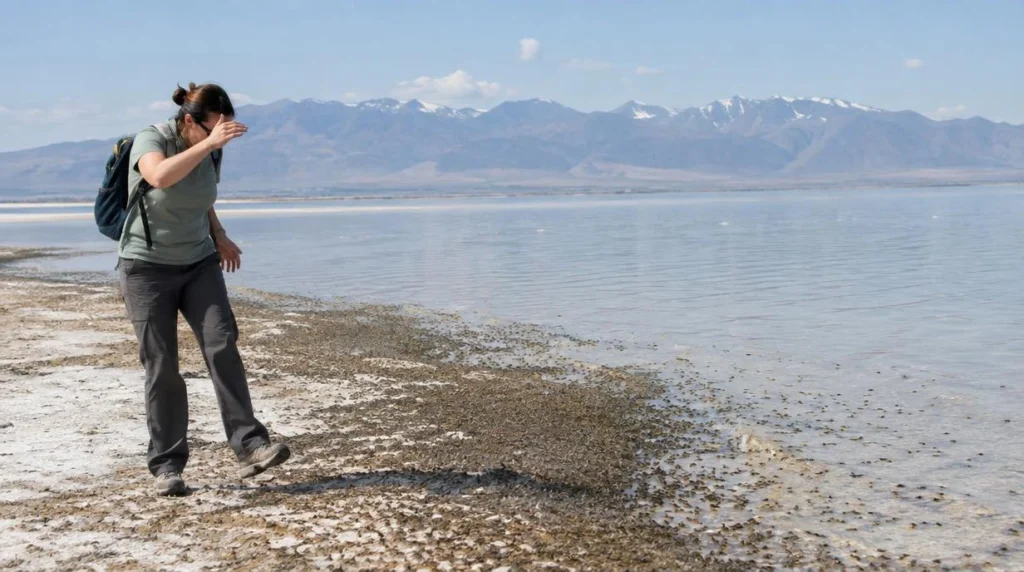 Why Are There So Many Brine Flies on Antelope Island?
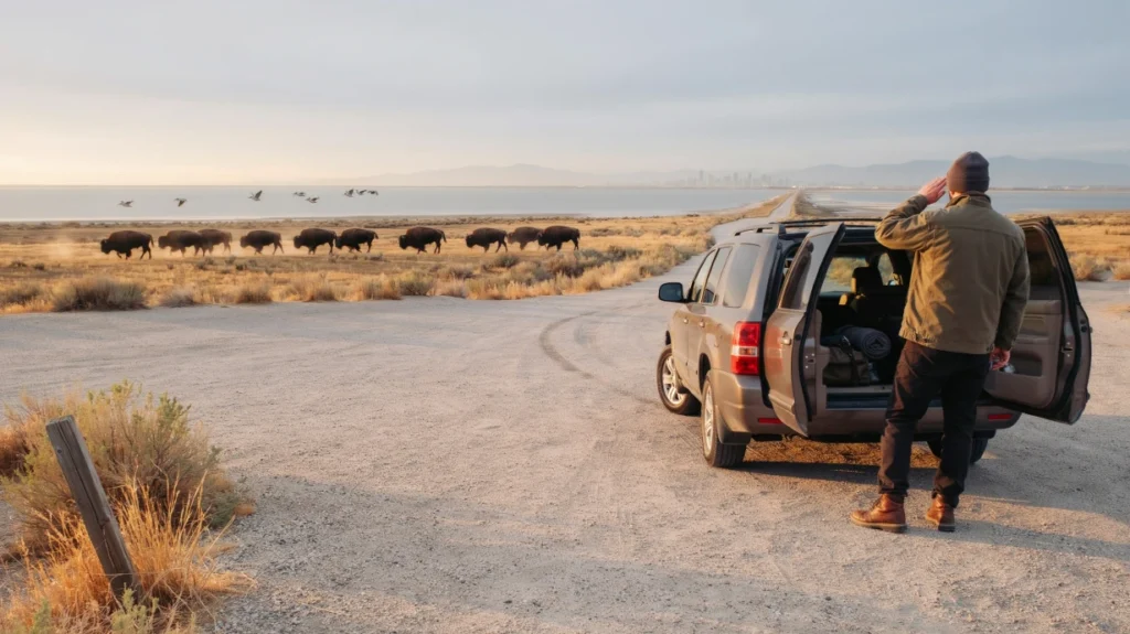 Antelope Island Day Tour or Sunset Wildlife Tour: Which Fits Your Salt Lake City Schedule?
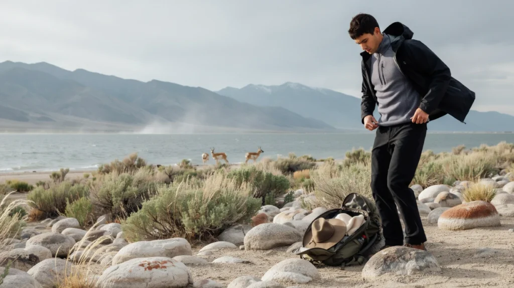 How to Dress for Changing Weather on Antelope Island

This experience is a must-do! Dima explains the history of the area as well as the...
Read more →I had never been on a guided tour before, but Dima made it the best experience...
Read more →This was a great tour, it was nice to get picked up from our hotel. It...
Read more →Great guide great information and great deal for the money.
Read more →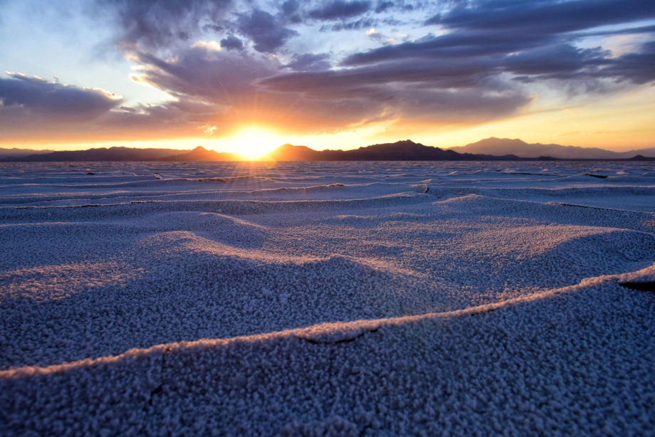 Bonneville Salt Flats – Sunset Adventure of the White Desert
 Antelope Island – Wild Heart of the Great Salt Lake Adventure
 Antelope Island Sunset Wildlife Expedition – Great Salt Lake Odyssey
 Bonneville Salt Flats – Journey to the Edge of the World