Top-7 unknown places near Moab: secret viewpoints, riverside coves and quiet trails
Dec 16, 2025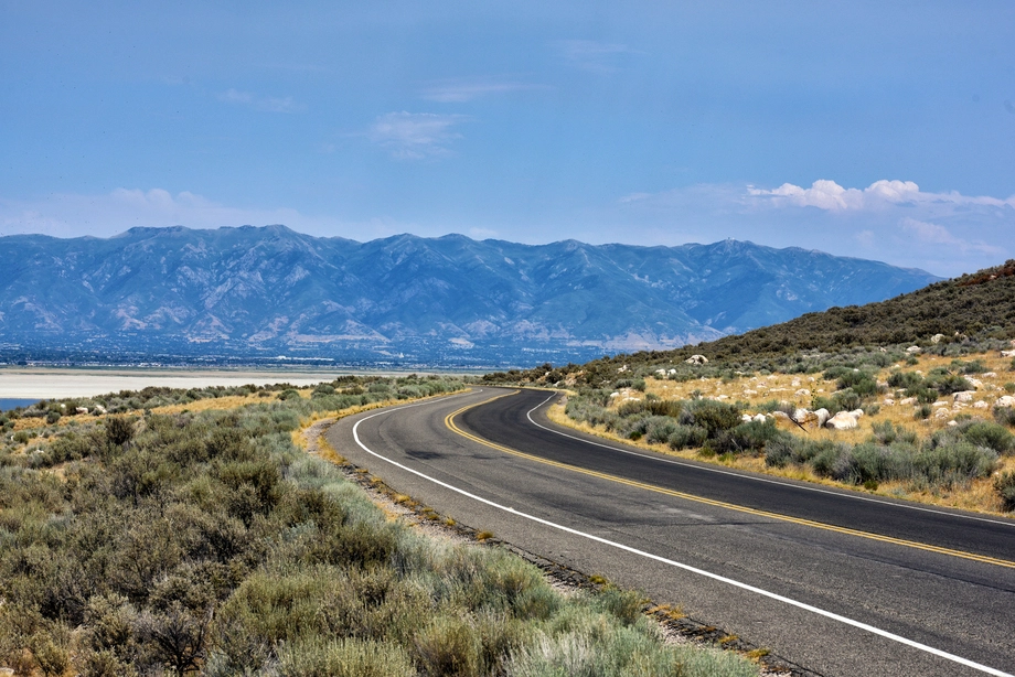
Within an hour of Moab you can reach quiet rims, shady Colorado River coves, alpine lakes, side washes, rock art alcoves, and dark-sky pullouts that most visitors miss. Plan extra water and navigation backup, respect cultural and fragile sites, and consider at least one guided day with MateiTravel to access remote viewpoints comfortably and safely.
Moab hides far more than the famous viewpoints in Arches and Canyonlands. Within an hour of town you can find quiet rims, hidden river coves, forgotten petroglyphs, and dark-sky pullouts where you may not see another person. The short version is that if you plan well, respect the desert, and often use a local guide, you can still experience Moab’s wild side in real solitude.
Travel demand in Moab has exploded. That means the classic overlooks are often busy while huge areas nearby remain almost empty. Based on years of itinerary planning and feedback from local guides, the most memorable days usually mix one headline sight with two or three low-profile stops that are not on the usual tour-bus schedule.
This article walks through seven lesser-known places near Moab, how to reach them, realistic safety tips, pros and cons of exploring them, common mistakes first-time visitors make, and when it is smarter to book a curated day trip with experienced local guides. We will also look at simple comparison tables to help you choose between self-drive exploration and organized tours.
🌄 Why look for unknown places near Moab at all?
Quieter experiences than the main viewpoints
Arches and Canyonlands are spectacular, yet their main parking lots fill very early, especially in spring and fall. Smaller pullouts and unsigned social trails around Moab can feel like a different world with natural silence, more wildlife, and time to linger without pressure to move your car.
In brief, seeking out lesser-known spots balances your trip. See the icons, then step away from the crowds to feel what southeastern Utah was like before mass tourism.
Different angles on famous landscapes
Some of the places below sit just outside park boundaries or along alternate rims. They give you unusual perspectives on formations you may already recognize from postcards, but framed by emptier foregrounds and new light.
This can be especially rewarding for photographers who want compositions that do not look like everyone else’s social feed.
Better suited to small groups and families
Couples, families with kids, and private groups often prefer spaces where they can move at their own pace. On quieter trails you can pause to explain geology to children, set up a picnic, or simply sit in the shade without worrying about blocking anyone’s photo.
Local operators such as MateiTravel often design custom day tours around these calmer spots, which works well for multi-generational groups that need flexible timing and comfortable transport.
🧭 How to reach hidden places near Moab safely
Know your vehicle and road conditions
Not every obscure trailhead needs a lifted 4×4, but you should understand ground clearance and tire condition before leaving paved roads. Some of the areas here are accessible in a standard SUV during dry weather, while others really do need high clearance.
Always check recent conditions with rangers or local guides. A short storm can turn a harmless clay backroad into a slick, impassable mess.
Time, distance, and daylight planning
The desert often fools visitors. A seven-mile dirt road can take 40 to 60 minutes, especially if you stop for photos. Build a generous buffer so you are off remote tracks before dark, unless night sky viewing is your specific goal and you know the route well.
In a nutshell, underestimate driving time and you risk either rushing the experience or driving unfamiliar roads after sunset, both of which increase stress and safety concerns.
When a guided day tour makes sense
If you have limited days, are traveling with kids or older relatives, or feel unsure about navigation, a guided experience can be the simplest option. Services like the day tours in Utah offered by MateiTravel combine hidden locales with reliable vehicles and local drivers who understand backroad etiquette.
Guides also help you avoid sensitive cultural sites at risk of vandalism and show you how to experience rock art and fragile soil without damaging them.
You found a hidden promo code!
Use code WOWBLOG at checkout and get 10% OFF any tour!
Limited time offer. Book now and save!
Browse Tours🏜️ Hidden Spot #1: Back-of-the-rim viewpoints near Dead Horse Point
What makes these viewpoints special
Most visitors stop at the main Dead Horse Point overlook. Fewer wander to the quieter back-of-the-rim points accessed from nearby state park roads and legal spurs. These spots look into side canyons and buttes with almost the same drama but far less human noise.
On many days you may encounter only a few other people, even in high season.
Access and difficulty
Reaching these views usually involves short walks over open slickrock with gentle grades. There are few formal signs. You navigate using rock cairns or GPS routes, so strong situational awareness is important.
Weather can change fast on the plateau. Carry layers and a paper map as backup in case your phone battery drops.
Best time to visit
Sunrise and late afternoon bring long canyon shadows and soft color on the Colorado River bends. Midday has harsher light but fewer people, which works if your focus is quiet rather than photography.
Parking is limited at the smaller pullouts. Arrive early if you plan to stay for golden hour with a tripod.
🌊 Hidden Spot #2: Little-known coves along the Colorado River corridor
Calm beaches and shady cottonwoods
Drive either upstream along Highway 128 or downstream toward Kane Creek and you will find unmarked pullouts dropping to small river coves. These sandy pockets sit beneath tall cliffs with cottonwood trees and occasional boulders that create natural picnic spots.
They are ideal for a quiet lunch, light shore fishing, or letting older kids explore within sight.
Water safety and regulations
The Colorado looks placid in some sections, yet currents can be surprisingly strong. Do not swim far from shore and always keep an eye on children. River levels may rise when upstream dams release water, and water temperature can be cold even in summer.
Fires, glass, and camping rules change by corridor segment. Check local regulations in Moab before your trip, or rely on a guide who already knows which coves are currently open.
Combining coves with a scenic drive
Many visitors pair these secret spots with established overlooks in Arches or Canyonlands. An organized route, like those found in selected Utah national parks tours, often weaves river stops between park highlights for a balanced day.
The main idea is to punctuate long car stretches with 20–40 minute breaks by the water. That keeps everyone more energized and reduces road fatigue.
🧱 Hidden Spot #3: Lesser-known arches in the backcountry near Moab
What to expect beyond the famous arches
The iconic spans within Arches National Park get most of the attention. Outside the busiest loops there are smaller, unnamed or little-publicized arches scattered across BLM land and remote corners of the park.
They may not be as tall, but their solitude and unusual shapes make them favorites among returning visitors and local photographers.
Navigation and route-finding
Some of these arches sit a short hike from unpaved roads. Trails are lightly marked or follow washes that can be confusing in poor light. You should carry offline maps, extra water, and be comfortable turning back if the route becomes unclear.
When in doubt, join a small guided hike so that local expertise covers route-finding while you focus on the scenery.
Photography and Leave No Trace
Many of the lesser-known arches have delicate soils and cryptobiotic crusts around them. Always stay on rock or clearly disturbed paths and avoid stepping on dark, knobby soil patches that may take decades to recover.
In short, a good rule is to admire arches from solid rock platforms and to keep tripods and gear off fragile ground as much as possible.
🌌 Hidden Spot #4: Dark-sky pullouts and stargazing points
Why Moab is ideal for night sky viewing
Southeastern Utah hosts several internationally recognized dark sky parks with very low light pollution. Within 30–45 minutes of Moab, you can reach pullouts where the Milky Way arches overhead and zodiacal light is visible on moonless nights.
Cooler air and quiet roads make late spring, summer, and early fall popular seasons for casual stargazing.
Choosing safe roadside locations
The safest night sky spots are official parking areas, picnic sites, and wide gravel pullouts well off the asphalt. Avoid blind corners or narrow shoulders. Use red headlamps to protect night vision and help drivers see you without glare.
Tell someone in town exactly where you are going and when you plan to return, especially in winter when conditions can deteriorate quickly.
Gear and simple comfort tips
Bring camp chairs, warm layers, and a thermos of hot drinks. Even in July, desert nights can feel cool compared to daytime. A basic star app on your phone helps identify major constellations once your eyes adjust.
The gist is that a small amount of preparation turns a simple roadside stop into one of the most memorable parts of your Moab visit.
🌵 Hidden Spots #5–#7: Quick ideas for quiet exploration
#5: Petroglyph alcoves along Kane Creek
Several sections of the Kane Creek corridor hold ancient rock art panels on accessible cliff faces. Some are signed, others are not, and many visitors drive past without noticing.
Treat these panels as outdoor museums. Do not touch, chalk, or trace them, and keep a respectful distance so dust and body oils do not accelerate their erosion.
#6: La Sal Mountains alpine lakes
East of Moab, the La Sal range rises to over 12,000 feet. Small lakes and meadows near the end of paved forest roads offer a stark contrast to the desert. Temperatures are much cooler, and summer wildflowers create a completely different color palette.
These spots are ideal when Moab hits triple-digit heat. Just watch afternoon thunderstorms and give yourself time to descend before heavy rain.
#7: Side washes on the fringes of Canyonlands
Outside the main Island in the Sky district, legal BLM routes reach small side canyons and sandy washes with short, family-friendly walks. There you can see geological layers up close, search for fossils in legal, non-collecting ways, and sit in shady overhangs.
Always confirm that your chosen wash is not subject to flash flood warnings, especially between July and September when monsoon storms are possible.
⚖️ Pros and cons of exploring unknown places near Moab
Advantages of going off the main tourist trail
- Real solitude: You are more likely to hear wind and birds than car doors and tour groups, which many travelers find more restorative.
- Unique photography: Lesser-known angles help your images stand out and better capture your personal experience.
- Flexible pacing: With fewer people, you can linger over lunch, geology talks, or meditation without feeling rushed.
- Deeper connection: Quiet spaces make it easier to appreciate cultural sites, ancient rock art, and the scale of the landscape.
- Educational value: Local guides often share stories and scientific details they skip at crowded overlooks.
Limitations and things to be aware of
- Navigation risk: Lightly marked or unsigned routes increase the chance of getting off track if you rely only on phone maps.
- Limited services: Many hidden spots have no toilets, potable water, or cell coverage, so preparation is essential.
- Vehicle wear: Rougher roads can lead to flat tires or undercarriage damage if your car is not suited to them.
- Weather exposure: Shade is scarce, and storms can change conditions fast in canyon country.
- Cultural sensitivity: Without guidance, visitors may unintentionally disturb rock art or sacred areas.
📊 Self-drive vs guided tours near Moab: quick comparison
| Option | Main benefits | Key drawbacks | Best for |
|---|---|---|---|
| Self-drive to unknown spots | Maximum flexibility, lower direct cost, choose exact timing | Navigation stress, vehicle risk, less local insight | Experienced drivers, repeat visitors |
| Small-group guided day tour | Local driver-guide, curated hidden stops, safety backup | Less spontaneous, per-person cost | First-time visitors, families, short trips |
| Private custom tour | Fully tailored route, flexible pacing, premium comfort | Highest price, must book ahead | Large groups, special interests, celebrations |
MateiTravel specializes in small-group and private options with local guides, original itineraries, and comfortable transport sized for big groups plus dedicated transfers. That combination works especially well when your group wants to reach lesser-known places without worrying about logistics.
🧪 Practical example itineraries that include hidden spots
Example 1: One-day sampler of river, rim, and rock art
Start with a sunrise stop at a quieter Dead Horse Point rim, then drive into Canyonlands for one or two headline overlooks. After lunch, head down the Colorado corridor to a shaded cove where kids can play at the water’s edge under supervision.
Finish the day with a short walk to an accessible petroglyph panel near Kane Creek, timing your return to Moab just before dusk. A guided version of this plan typically includes transport, snacks, and interpretation from a local guide.
Example 2: Mixed-ability group with heat escape
On very hot summer days, begin in the La Sal Mountains at a high-elevation lake. Enjoy a picnic and short strolls in cooler air. Later, descend toward the river corridor for an early dinner followed by a night sky stop at a known dark-sky pullout.
This style of day works well for visitors who tire easily in the heat but still want to see both forested mountains and classic desert scenery in one trip.

❌ Common mistakes when exploring lesser-known places near Moab
Underestimating heat and water needs
Many visitors bring the same amount of water they might carry for a city walk. In desert terrain, that is often not enough. Plan for at least one gallon per person for a full day away from services, more if hiking in exposed areas.
Symptoms of dehydration can appear quickly, especially for children and older adults. Build frequent shade and drink breaks into any itinerary.
Relying only on a phone for navigation
Canyons and distant cell towers make signal coverage patchy. Even when maps load, battery life drops faster in extreme heat or cold. Visitors commonly find themselves unsure which wash or side road to follow thirty minutes before sunset.
Always carry a paper map or pre-downloaded GPS tracks, and be ready to turn around earlier than planned if navigation becomes confusing.
Ignoring road and weather updates
Flash floods, snow, or recent grading can dramatically change road conditions. Drivers sometimes assume that a road rated “easy” in an old blog is still suitable for any vehicle, then meet deep ruts or mud.
Check in with visitor centers, park rangers, or your tour operator on the morning of your outing for the latest information.
Getting too close to rock art and fragile soil
Touching petroglyphs, climbing on alcove walls, or walking across black, crusty soil can cause permanent damage. Even light contact transfers oils and accelerates erosion.
Keep a respectful buffer from cultural sites and stay on rock or already-disturbed paths whenever possible.
🛟 Practical tips for a safe and rewarding visit
Packing checklist for hidden Moab spots
- Water and snacks: Carry more water than you think you will need plus salty snacks to maintain energy in the heat.
- Sun protection: Use a wide-brim hat, sunglasses, and high-SPF sunscreen. Reapply regularly, especially at higher elevations.
- Layers: Pack a light jacket even in summer if you plan to visit the La Sals or stay out after dark.
- Navigation tools: Bring a paper map and a charged power bank for phones or GPS devices.
- Emergency basics: Include a small first-aid kit, headlamp, and whistle for signaling if needed.
Choosing the right day tour or guide
When evaluating tours, ask how many guests are typically in a group, which lesser-known stops they include, and what kind of vehicles they use. Companies like MateiTravel emphasize small groups, original routes, and comfortable transport that can handle both paved and maintained dirt roads.
In many cases, the cost of a tour compares favorably to renting a more capable vehicle yourself, especially once you factor in fuel, potential damage, and your time spent planning.
Timing your visit by season
Spring and fall offer moderate temperatures but more crowding at marquee sights, which makes hidden spots even more valuable. Summer brings heat, yet La Sal lakes and evening river coves provide cooler escapes.
Winter can be quiet and magical, though snow and ice may limit access to some rims and dirt roads. Always check ahead before committing to remote routes.
📊 Quick comparison of three representative hidden spots
| Location type | Approx. drive from Moab | Recommended time on site | Vehicle needs |
|---|---|---|---|
| Back-of-the-rim viewpoint | 35–45 minutes | 1.5–3 hours | Standard SUV in dry weather |
| Colorado River cove | 10–30 minutes | 30–90 minutes | Any passenger car, paved or good gravel |
| La Sal alpine lake | 45–60 minutes | 2–4 hours | Standard car or SUV, watch weather |
These figures are approximate and assume normal conditions. Always adjust drive and visit times for your group’s pace and current weather.
📚 Why local expertise matters in Moab’s backcountry
Insights from park and safety recommendations
Backcountry visitors should be self-reliant, carry sufficient water, and be prepared for extreme temperatures and rapid weather changes. Many routes are unmarked and require advanced navigation skills.
— National Park Service guidance on desert backcountry travel
This kind of official advice underlines why guided outings are valuable for many travelers. Local guides spend hundreds of days a year in the field and tend to notice small but important changes in trail conditions long before they are widely reported.
What MateiTravel adds to the experience
MateiTravel works with experienced local guides who know which pullouts, river coves, and side canyons are both beautiful and appropriate for visitation at any given time. They design original routing that avoids predictable crowds while staying within legal and environmental guidelines.
Their own transport and group transfer options make it simpler for larger families, corporate groups, or friends traveling together to relax between stops instead of worrying about convoys of rental cars.
Connecting Moab with the rest of Utah
If you are combining Moab with time in the Wasatch Front, you can also start or end your trip with curated Salt Lake City tours to get cultural context before heading into the desert. That framing often makes the rock art, settlement history, and geology around Moab feel much richer once you are on the ground.
✅ Conclusion: how to enjoy Moab’s unknown places responsibly
Moab’s surroundings are full of quiet rims, shady river bends, high mountain lakes, and small canyons that most visitors never see. With thoughtful planning, respect for desert safety, and attention to cultural and environmental guidelines, these places can become the highlight of your trip.
In short, combine headline parks with a handful of hidden stops, use local knowledge whenever possible, and leave extra time for surprises along the way. For many travelers, teaming up with MateiTravel for at least one guided day unlocks secret viewpoints and stories that would be hard to find alone.
If you are ready to build a custom route that mixes famous arches with quiet coves and unknown overlooks, consider reaching out to MateiTravel to design a day or multi-day adventure tailored to your group’s interests and comfort level.
Sources
— National Park Service, Desert Hiking and Backcountry Safety Guidelines (2023)
— Utah Office of Tourism, Southeast Utah Travel Trends Report (2022)
— International Dark-Sky Association, Dark Sky Parks in Utah Overview (2023)
— Canyon Country Outdoor Recreation Safety Brief, Grand County Search and Rescue (2021)
FAQ
What makes the seven unknown places near Moab different from the famous parks?
These spots offer similar scenery but with far fewer people, less noise, and more flexible pacing. They include quiet rims, river coves, mountain lakes, and side washes, which together create a more varied and personal experience than sticking only to the main overlooks in Arches and Canyonlands.
How much driving time should I plan to reach these hidden locations?
Most of the examples in the article sit 10 to 60 minutes from Moab, depending on direction and road type. For instance, river coves can be as close as 10–30 minutes, while La Sal alpine lakes or back-of-the-rim viewpoints usually require 35–60 minutes in normal conditions.
Do I need a 4×4 to visit the lesser-known spots near Moab?
Several hidden locations are reachable in a standard car or SUV in dry weather, especially along the river corridor and paved roads into the La Sals. Rougher backroads to some rims and washes may require higher clearance, which is where a guided tour with suitable vehicles can be safer and less stressful.
How much water should I carry when exploring these areas?
For full days away from services, aim for at least one gallon of water per person and more if you will be hiking under direct sun. The article emphasizes that desert heat and low humidity make dehydration appear faster than many visitors expect, especially for kids and older adults.
What are the most common mistakes visitors make in Moab’s lesser-known areas?
Frequent errors include underestimating heat, relying only on a phone for navigation, ignoring updated road and weather conditions, and getting too close to rock art or fragile soil. Each of these can be avoided by better preparation, checking with local authorities, and following Leave No Trace principles.
When is the best season to explore these hidden places?
Spring and fall offer the most comfortable temperatures but more crowds at well-known sites, making unknown spots especially rewarding. Summer is hot in the desert, yet cooler in the La Sal Mountains and at night by the river, while winter can provide solitude alongside potential snow and ice on higher routes.
How can a guided day tour help me reach lesser-known locations safely?
Guided tours provide experienced local drivers, suitable vehicles, and curated routes that blend headline views with quieter stops. Operators like MateiTravel also monitor current road and weather conditions, handle navigation, and teach respectful behavior at cultural and ecological sites, which reduces both risk and planning effort.
Is stargazing near Moab safe, and where should I go?
Stargazing is generally safe if you choose established parking areas or wide pullouts and make yourself visible to other drivers. The article recommends bringing chairs, warm layers, and red lights, then selecting dark-sky pullouts within 30–45 minutes of Moab that keep you well off the main roadway.
Can families with children enjoy these seven hidden spots?
Yes, many of the locations described are suitable for families, particularly river coves with gentle shorelines, short rim walks, and high-elevation picnic areas. The key is to watch kids closely near water and cliffs and to choose distances and temperatures appropriate for their age and energy level.
How do MateiTravel’s services fit into a Moab-focused trip?
MateiTravel offers small-group and private day tours that integrate hidden coves, quiet rims, and cultural sites with classic park viewpoints. Their local guides, custom itineraries, and comfortable transport are especially helpful for large groups or visitors who want to explore off the beaten path without handling all the logistics themselves.

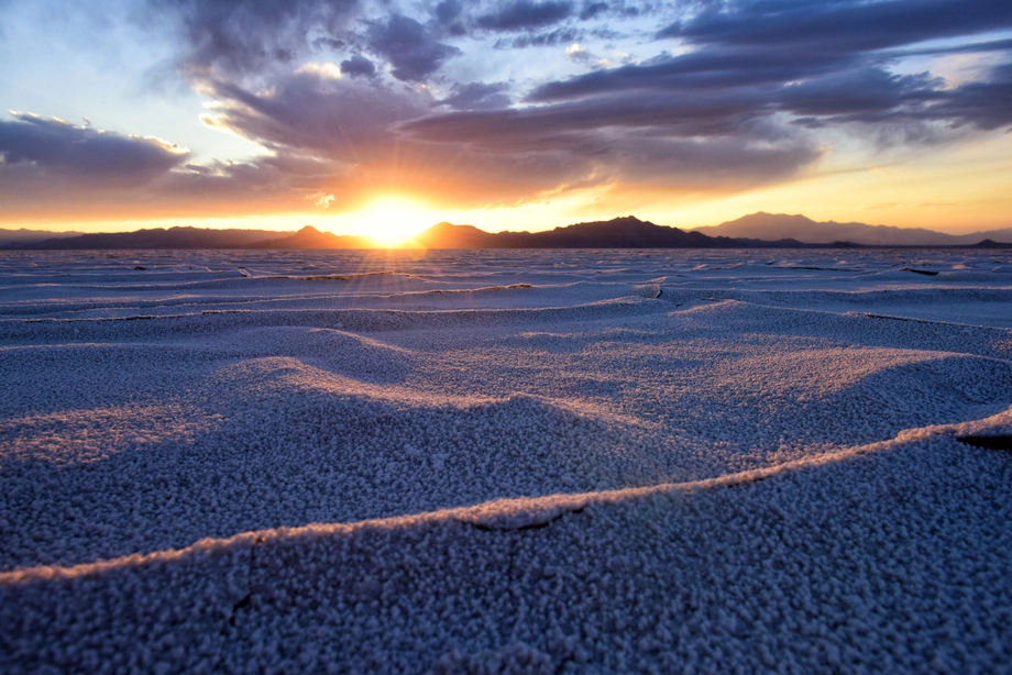 Bonneville Salt Flats – Sunset Adventure of the White Desert
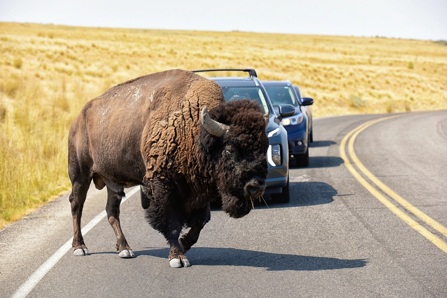 Antelope Island – Wild Heart of the Great Salt Lake Adventure
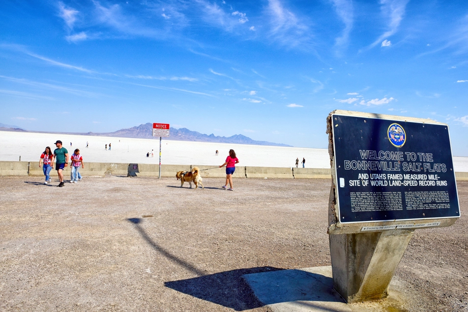 Bonneville Salt Flats – Journey to the Edge of the World
 Salt Lake City – The City of Zion. Historical Interactive Walking Tour
 Antelope Island Sunset Wildlife Expedition – Great Salt Lake Odyssey